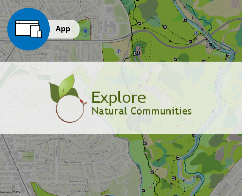
Explore Natural Communities is an online place-based field guide focused on natural communities. Currently highlighting the parks in the National Capital Region, this website tool is designed for expansion to other locations. It is designed for users who want to learn to “read” the natural landscape, whether to effectively manage natural areas or to enrich their visit to a park. An interactive map is integrated with engaging stories, images, and other information about the natural world. Park visitors and interpretive staff can “build” a hike, planning which natural features they wish to see along the way. Natural resource managers can “analyze-an-area” to generate reports on natural features in the landscape.
Using the lens of natural communities, this tool builds informed awareness of the U.S.’s important natural resources to enrich visitors’ experience of parks and other natural areas, and facilitate management and conservation of those resources. This product is an outgrowth of many years’ close collaboration between NatureServe and the National Park Service to describe, classify and map the natural communities in national park units across the country. Now, with funding and support from a partnership with the National Park Service, National Capital Region Research Learning Alliance, this tool takes the next intuitive step of making scientific information from the field readily and more widely accessible to both NPS staff and park visitors.
- Current release focuses on parks in the National Capital Region in and around Washington, D.C.
- Suitable for resource management specialists, park rangers and interpretive staff, researchers, teachers, students, and visitors.
- Increases awareness of the value of conserving natural areas.
- “Build-a-hike” tool integrates a fun, detailed interactive map viewer with engaging information about the area’s natural communities and natural history. Park visitors create personalized hikes, with printable reports on what they will see along the way.
- Interactive map viewer with GIS-like capabilities provides basic analytical tools for land managers. No additional software needed.
- Offers rich descriptions, photographs, and seasonal highlights of natural communities and their characteristic plants and animals.
- Enlightens with highly palatable, illustrated information about environmental conditions and natural processes at play in natural communities.
- Informs about the park’s natural history, land-use patterns, and resource management issues.
- Natural communities are based on The U.S. National Vegetation Classification (USNVC), a federally accepted standard that NatureServe helped develop and now maintains in collaboration with federal agencies and the Ecological Society of America. The USNVC provides a consistent framework for documenting the diversity of vegetation within and across park units and other federal and state lands
- Funded and supported by a partnership with the National Park Service, National Capital Region.
- This project extends a long-standing collaboration between the National Park Service and NatureServe by making scientific information from the field readily and more widely accessible to both NPS staff and park visitors.
Disclaimer: The views and conclusions contained in this document are those of the authors and should not be interpreted as representing the opinions or policies of the U.S. Government. Mention of trade names or commercial products does not constitute their endorsement by the U.S. Government.